Select language
Sprache auswählen
Route
Bestorp / Sätravallen to Vårdnäs
9-12 km
Length: 9-12 km (9 km with start/end in Sätravallen. 12 km with start/end in Bestorp)
Highlights on the route
- Nice wind protection at Sätravallen
- Cozy hike in the summer cottage area of Kristineberg
- Nice by Tarmsjön/Trollsjön
Map of the stage
Hiking map as pdf for the hike between Sätravallen and Vårdnäs.
How long does it take to hike this route?
If you start the hike in Bestorp (after getting off the bus, you have a 3 km hike to the starting point in Sätravallen. From there it's about 9 km to hike. Expect the hike to take at least 3-4 hours.
For who?
The hike is partly on gravel roads, paths and in some parts on paved roads. The route is relatively flat and easy walking except at Sätravallen where it is uphill on a former ski slope.
How does the hike work?
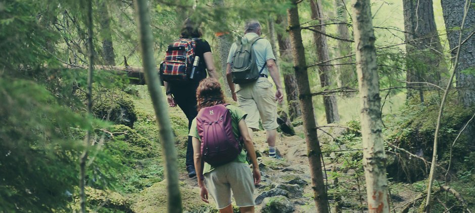
If you go by bus and get off in Bestorp, you follow the Östgötaleden trail signs through the community and pass the school Sätra skola. After 2 kilometers you connect to the main hiking trail that leeds to Sätravallen. At Sätravallen, the trail begins by going uphill - there used to be a municipal ski slope with a lift at the site. The heart rate increases. The trail passes the Kristineberg summer cottage area and the lake Storsjön where there is a swimming area. Continue northwest through the forest on gravel roads and paths. Pass the lake Tarmsjön - but which the locals call "Trollsjön". The place is reminiscent of a lake in Norrland because of the coniferous forest all around.
A stretch of about 600 meters takes place on a narrow paved road with some car traffic where the speed is 70 km/h. Soon you will arrive at Vårdnäs after a nice hike.
Water supply
There is limited opportunity to fill up with water along the route, so make sure you have well-filled water bottles from the start.
How do I find my way along the hike?
The route has orange Östgötaleden signs to follow and also the orange sign för trail "Rängen Runt". This route is also part of the "Birgitta Ways" (pilgrimage hiking trail). In most places the trail is easy to follow.
This part of the Östgötaleden is marked on a digital map, so the trail is easy to follow on your own smartphone with your own position visible.
Links to more information about the hike:
Digital map at ostgotaleden.se
Get to the starting point:
Read more here how to get to the starting point by bus.
Read more here how to get to the starting point by car and where to park.


